GIMM
Working project:
https://dl.dropboxusercontent.com/u/1622301/honours/main/map.html
Thesis Paper:
https://dl.dropboxusercontent.com/u/1622301/honours/Thesis.pdf
https://dl.dropboxusercontent.com/u/1622301/honours/main/map.html
Thesis Paper:
https://dl.dropboxusercontent.com/u/1622301/honours/Thesis.pdf
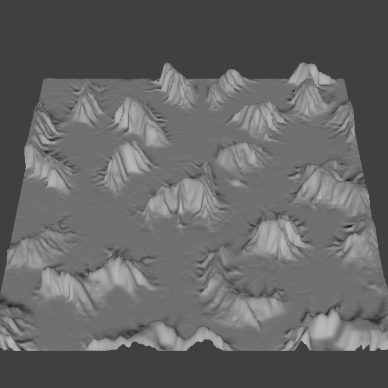
For my honours year at uni, I created a program to turn height-maps used for terrain in games into an illustrative map, that could be scaled and rotated as the viewer moves their camera around. The inspiration for this project comes of the game "Hegemony: Phillip of Macedon" which used a manually illustrated map that would display more or less features as the user zooms in and out.
The purpose of an illustrative map is to show the world with emphasis on the important parts, which for this project were the mountains. This way the user or player of a game using this system would easily be able to identify the mountains/barriers, and plan their strategy and movements around it.
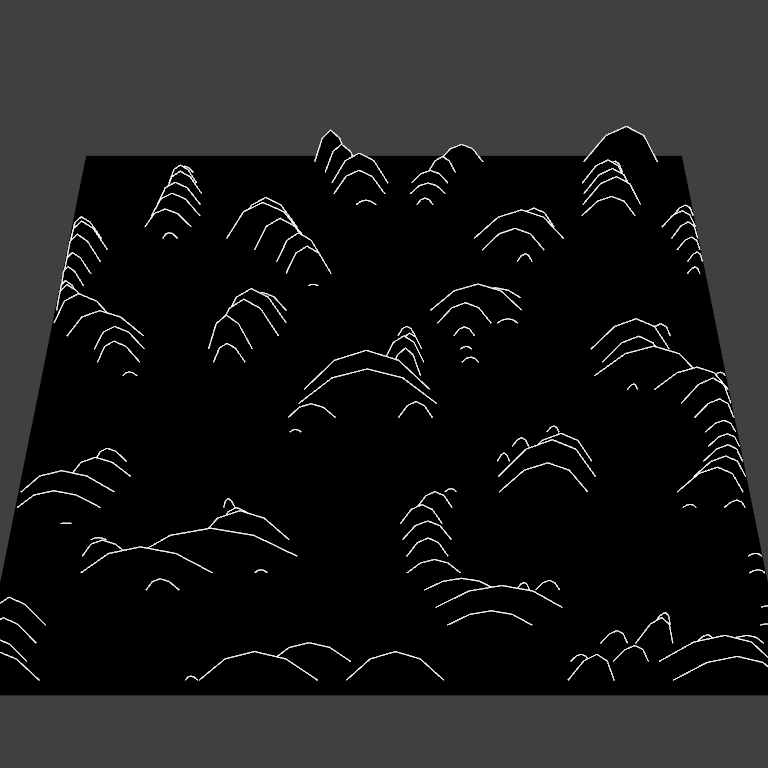
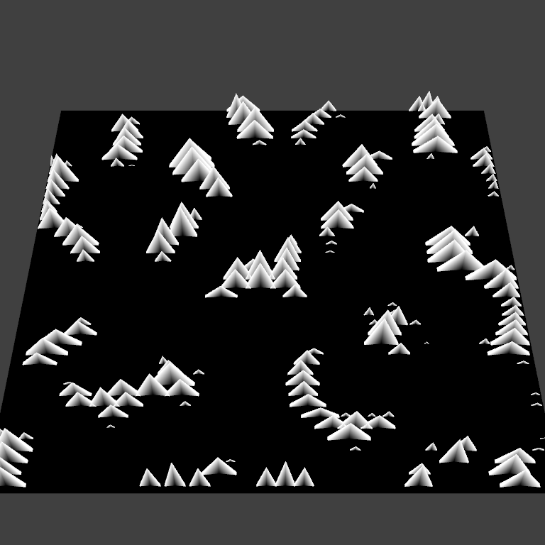
Below is a demonstration of the various methods used to create the mountain maps.
The purpose of an illustrative map is to show the world with emphasis on the important parts, which for this project were the mountains. This way the user or player of a game using this system would easily be able to identify the mountains/barriers, and plan their strategy and movements around it.
Below is a demonstration of the various methods used to create the mountain maps.